rareoldprints.com
Search
If you know the reference number
enter it here:
If you enter more than one word
it will be treated as
phrase
.
Insert
"and"
or
"or"
between words to search for
the words in any order
.
Refine your search
here or
build another search.
Displaying
0
to
9
of
9
-
-
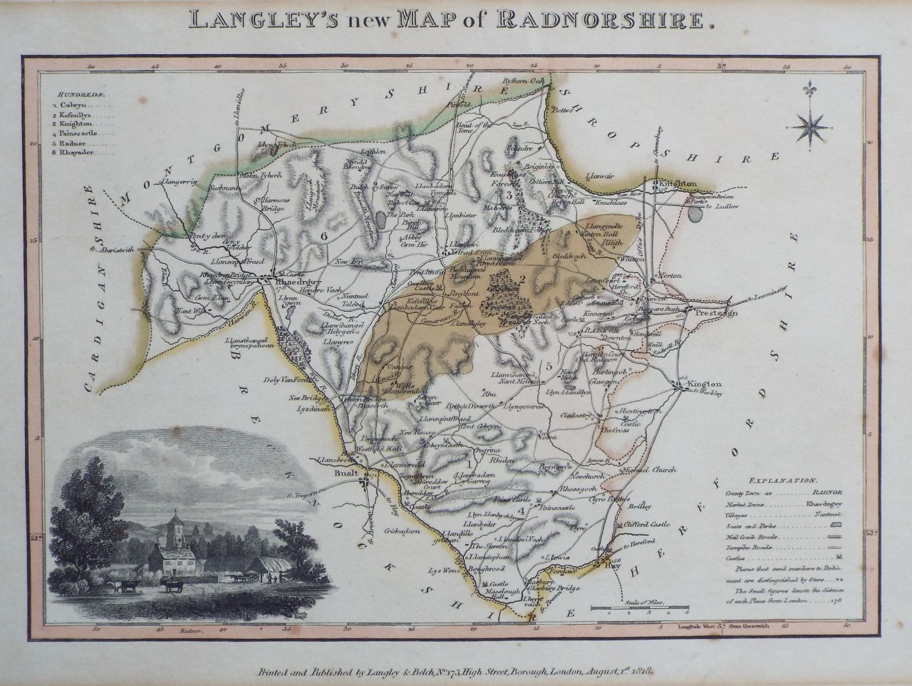
Langley's new Map of Radnorshire.
Ref:
P/32380
Region:
Radnorshire
Type: Copper
Publisher:
Langley & Belch, No. 173, High Street, Borough, London
Date:
1818
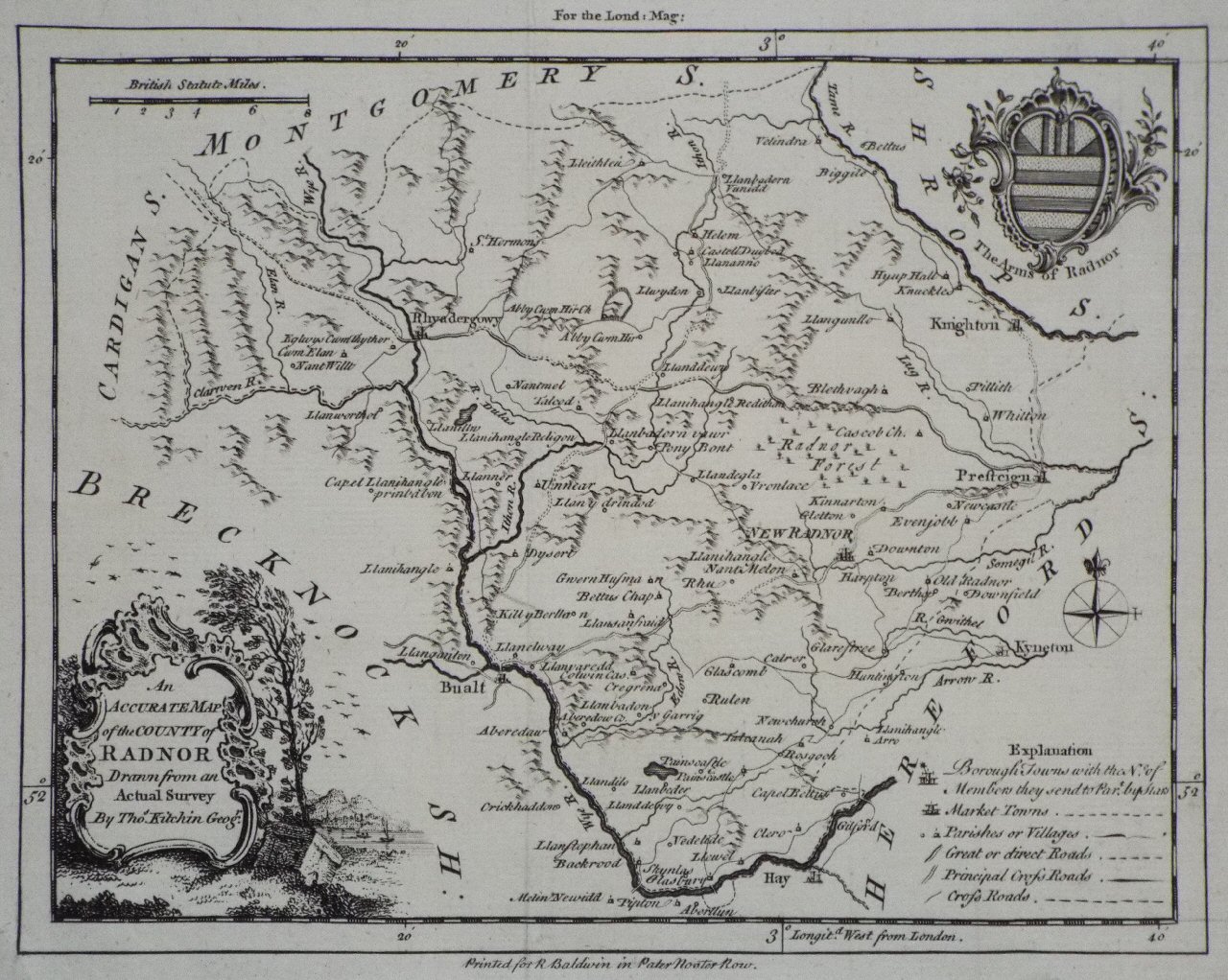
An Accurate Map of the County of Radnor Drawn from an Actual Survey
Ref:
P/12794
Region:
Radnorshire
Type: Copper
Cartographer:
Kitchin T
Publisher:
R Baldwin in Paternoster Row
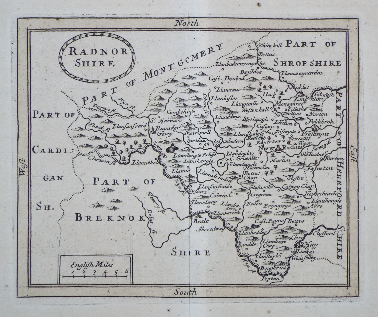
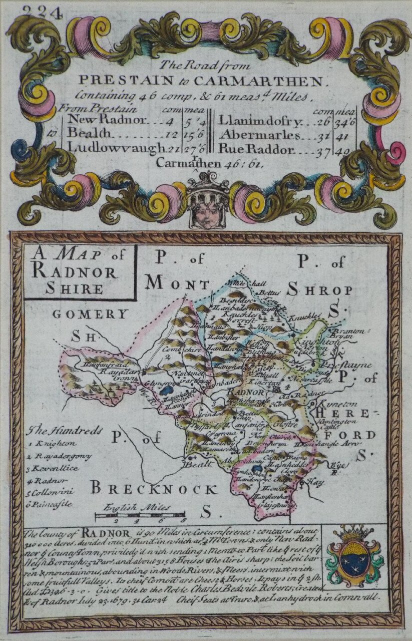
Radnorshire
Ref:
P/15252
Region:
Radnorshire
Type: Copper
Cartographer:
Kitchin T
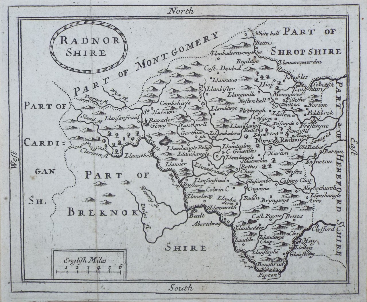
Radnor Shire
Ref:
P/28678
Region:
Radnorshire
Type: Copper
Date:
1701
Radnor shire
Ref:
P/30781
Region:
Radnorshire
Type: Copper
Cartographer:
Seller J
Publisher:
John Seller
Date:
1701
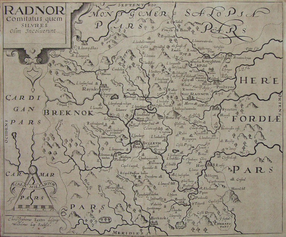
Radnor comitatus quem silvres
Ref:
P/11081
Region:
Radnorshire
Type: Copper
Cartographer:
Saxton C
Engraver:
Kip W
Date:
1610
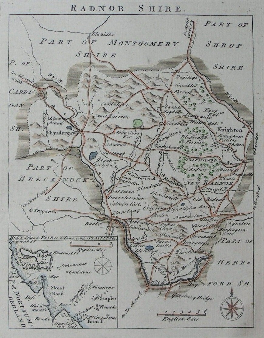
A Map of Radnor Shire
Ref:
P/11990
Region:
Radnorshire
Type: Copper
Radnor Shire
Ref:
P/5324
Region:
Radnorshire
Type: Copper
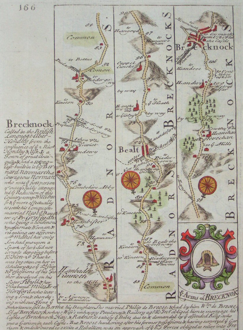
165/166 Llanvelling, Llanfair, Llanbeder, Newton / Llanbader, Builth Wells, Brecon
Ref:
P/6998
Type: Copper
Engraver:
Bowen E
Displaying
0
to
9
of
9